Queen Formation, Permian Basin (TX, NM) (07)
Comments on Geologic Parameters
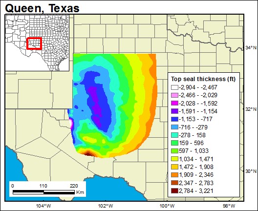
07 Top Seal Thickness
07 Map

Prepared by Arnold Aluge, 2019-2020.

Prepared by Arnold Aluge, 2019-2020.
© Bureau of Economic Geology | Web Privacy Policy | Web Accessibility Policy