GoMCarb Infrastructure, Operations, Permitting


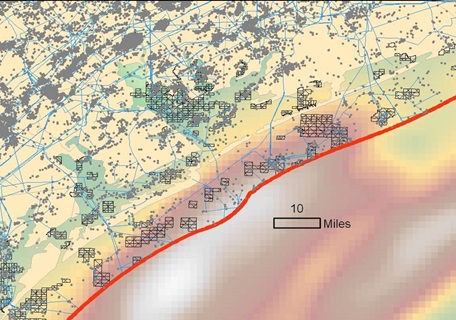
GoMCarb identifies CO2 offshore transport and delivery options, logistics, risks and regulations in the gulf region, including assessing the feasibility of decommissioning and re-purposing existing infrastructure to facilitate offshore CO2 storage. Existing infrastructure such as pipelines, platforms, and wells are assessed, collated, and mapped to the location of potential offshore storage reservoirs. GoMCarb will link source-transport-storage options in the Gulf of Mexico, from transportation from the source of CO2 to the offshore storage wellhead, and identify processes to optimize field operations, reservoir response, and operation costs.
Back to GoMCarb main page
Next - Outreach


