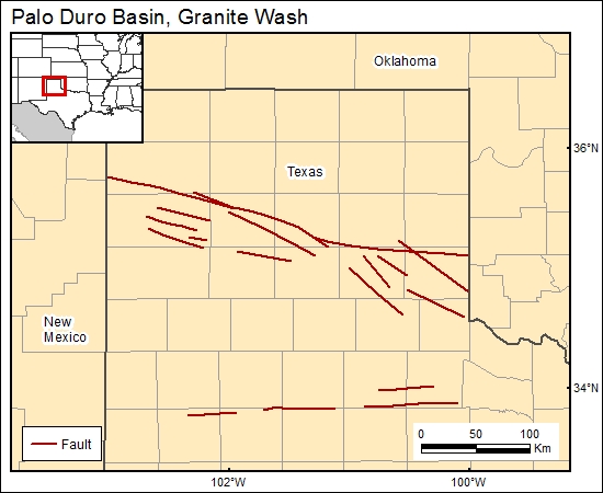
Granite Wash, Palo Duro Basin, Texas (08)
Comments on Geologic Parameters
08 Continuity of Top Seal:
Similar to property number 7, top-seal thickness, we did not find a net-salt map of the entire aquitard. Therefore, we used a net-salt map of the San Andres Formation cycle 4 (Presley, 1979) as an example of the continuity of part of the aquitard.
08 Map:

08 Reference:
Presley, M. W., 1979, Upper Permian evaporites and red beds, in Dutton, S. P., Finley R. J., Galloway, W. E., Gustavson, T. C., Handford, C. R., and Presley, M. W., Geology and hydrology of the Palo Duro Basin, Texas Panhandle: a report on the progress of nuclear waste isolation feasibility studies, 1978: The University of Texas at Austin, Bureau of Economic Geology, Geological Circular 79-1, p. 39–49.


