Jasper Formation, Gulf Coast, Gulf of Mexico (05)
Comments on Geologic Parameters
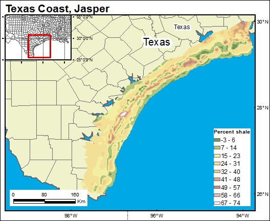
05 Percent Shale Map
05 References
Galloway, W. E., Jirik, L. A., Morton, R. A., and Dubar, J. R., 1986, Lower Miocene (Fleming) depositional episode of the Texas coastal plain and continental shelf: structural framework, facies, and hydrocarbon resources: The University of Texas at Austin, Bureau of Economic Geology Report of Investigations No. 150, 50 p.
Prepared by Arnold Aluge, 2019-2020.


