Jasper Formation, Gulf Coast, Gulf of Mexico (12a)
Comments on Geologic Parameters
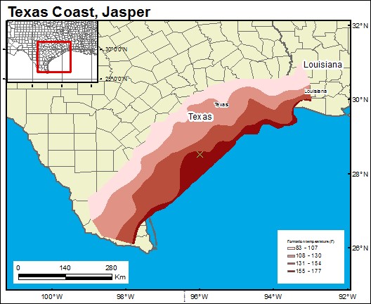
12a CO2 Solubility Brine: Formation Temperature
12a Map
12a References
Pettijohn, R. A., Weiss, J. S., and Williamson, A. K., 1988, Distribution of dissolved-solids concentrations and temperature in ground water of the gulf coast aquifer systems, south-central United States: U.S. Geological Survey Water-Resources Investigations Report 88-4082.
Prepared by Arnold Aluge, 2019-2020.


