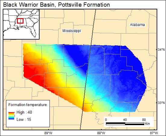
Pottsville Formation, Black Warrior Basin (12a)
Alabama and Mississippi
Comments on Geologic Parameters
12a CO2 Solubility Brine: Formation Temperature:
Data from the U.S. Geothermal Gradient map (Kron and Stix, 1982) was used with the depth map to determine average brine temperature for the Pottsville Formation.
12a Map:

12a Reference:
Kron, A., and Stix, J., 1982, U.S. geothermal gradient map of the United States, exclusive of Alaska and Hawaii: National Oceanic and Atmospheric Administration, National Geophysical Data Center, scale 1:2,500,000, two sheets.


