Pottsville Formation, Black Warrior Basin (14)
Alabama and Mississippi
Comments on Geologic Parameters
14 Porosity:
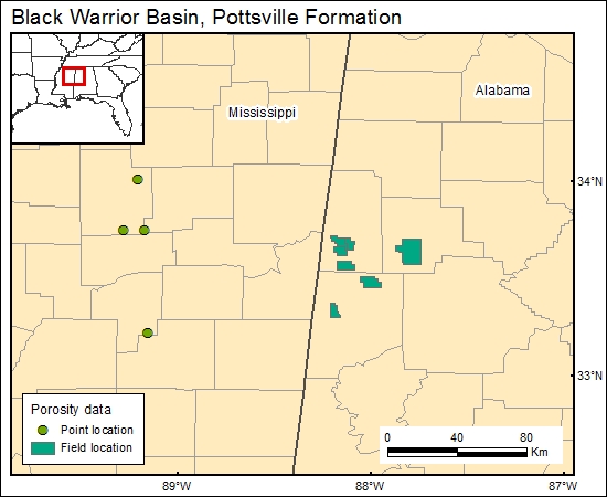
Different literature sources were used to find porosity information for the Pottsville Formation (Galicki, 1986; Beard and Meylan, 1987; E. Doherty, personal communication, 1999). This information from the oil fields was added to one of the oil- and gas-field maps. Although porosity data from oil fields range between 1.2 and 15 percent, normal faulting and lineaments present in the basin are the main factors that seems to control both porosity and permeability (Ortiz and others, 1993).
14 Map:

14 Reference:
Beard, R. H., and Meylan, M. A., 1987, Petrology and hydrocarbon reservoir potential of subsurface Pottsville (Pennsylvanian) sandstones, Black Warrior Basin, Mississippi: Gulf Coast Association of Geological Societies Transactions, v. 33. p 11-23.
Galicki, S., 1986, Mesozoic-Paleozoic producing areas of Mississippi and Alabama: Mississippi Geological Society.
Ortiz, I., Weller, R., and others, 1993, Disposal of produced waters: underground injection option in the Black Warrior Basin: Proceedings of the 1993 International Symposium: The University of Alabama/Tuscaloosa, p. 339-364.


