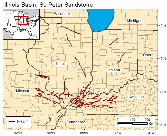
St. Peter Sandstone, Illinois Basin (08)
Comments on Geologic Parameters
08 Continuity of Top Seal:
The Maquoketa Shale and the underlying Galena, Decorah, Platteville, and Glenwood Formations are an effective aquiclude between the St. Peter Sandstone and overlying Silurian and younger strata. To characterize the continuity of the Maquoketa Shale in the GIS, we chose the map of Mandle and Kontis (1992), which shows vertical hydraulic conductivity values for the confining unit. Note that these data do not account for the effectiveness of the Galena, Decorah, Platteville, and Glenwood Formations as aquicludes, which also serve to hydraulically isolate the St. Peter Sandstone from overlying units.
08 Map:

08 Reference:
Mandle, R. J., and Kontis, A. L., 1992, Simulation of regional ground-water flow in the Cambrian-Ordovician aquifer system in the northern Midwest, United States: U.S. Geological Survey, Professional Paper 1405-C.


