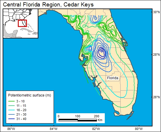
Cedar Keys/Lawson, Central Florida Region (11)
Comments on Geologic Parameters
11 Flow Direction:
There is essentially no information regarding flow direction for the hydrostratigraphic units below the Floridan aquifer. For the GIS, we used the map of Meyer (1989), which characterizes flow in the Floridan. Flow in the lower Cedar Keys and upper Lawson Dolomite is unknown.
11 Map:

11 Reference:
Meyer, F. W., 1989, Hydrogeology, ground-water movement, and subsurface storage in the Floridan Aquifer system in southern Florida: U.S. Geological Survey, Professional Paper 1403-G, 59 p.


